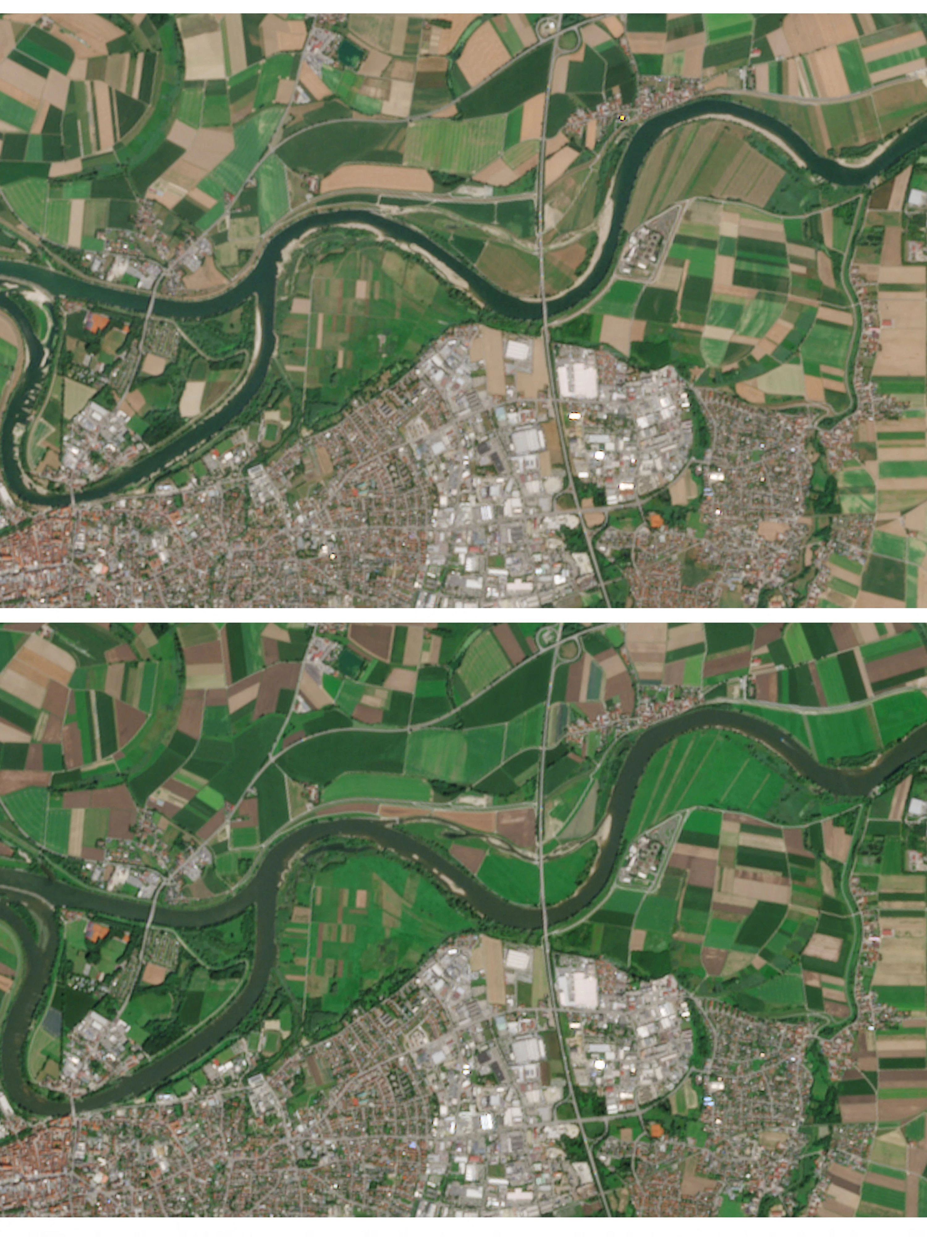
Eine Kombination aus Satellitenbildern zeigt niedrige Wasserstände an den Sandbänken der Donau bei Straubing (oben, 3. August 2026) sowie die Wasserstände an derselben Stelle im Vorjahr (unten, 8. August 2025).
via Reuters
A combination of satellite images shows reduced water levels along the sandbanks of the Danube River, near Straubing, Germany (top), August 3, 2026, and water levels at the same location last year (bottom), August 8, 2025. European Union/Copernicus Sentinel-2/Handout via REUTERS    THIS IMAGE HAS BEEN SUPPLIED BY A THIRD PARTY. MANDATORY CREDIT