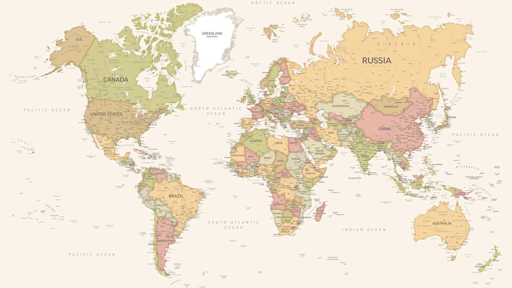
Die Mercator-Projektion lässt Afrika deutlich kleiner erscheinen, als der Kontinent tatsächlich ist.
iStock/PeterPencil
High-resolution political world map showing all countries with their borders, names, and major geographical features. The map displays continents, oceans, and national territories in different colors, providing a clear and detailed global overview. Ideal for educational, editorial, or design purposes.